02 — See more from above
Drone Services
Our drone workflows provide current, high-resolution views of sites and assets—supporting surveys, inspections, mapping, and environmental monitoring.
Discuss your project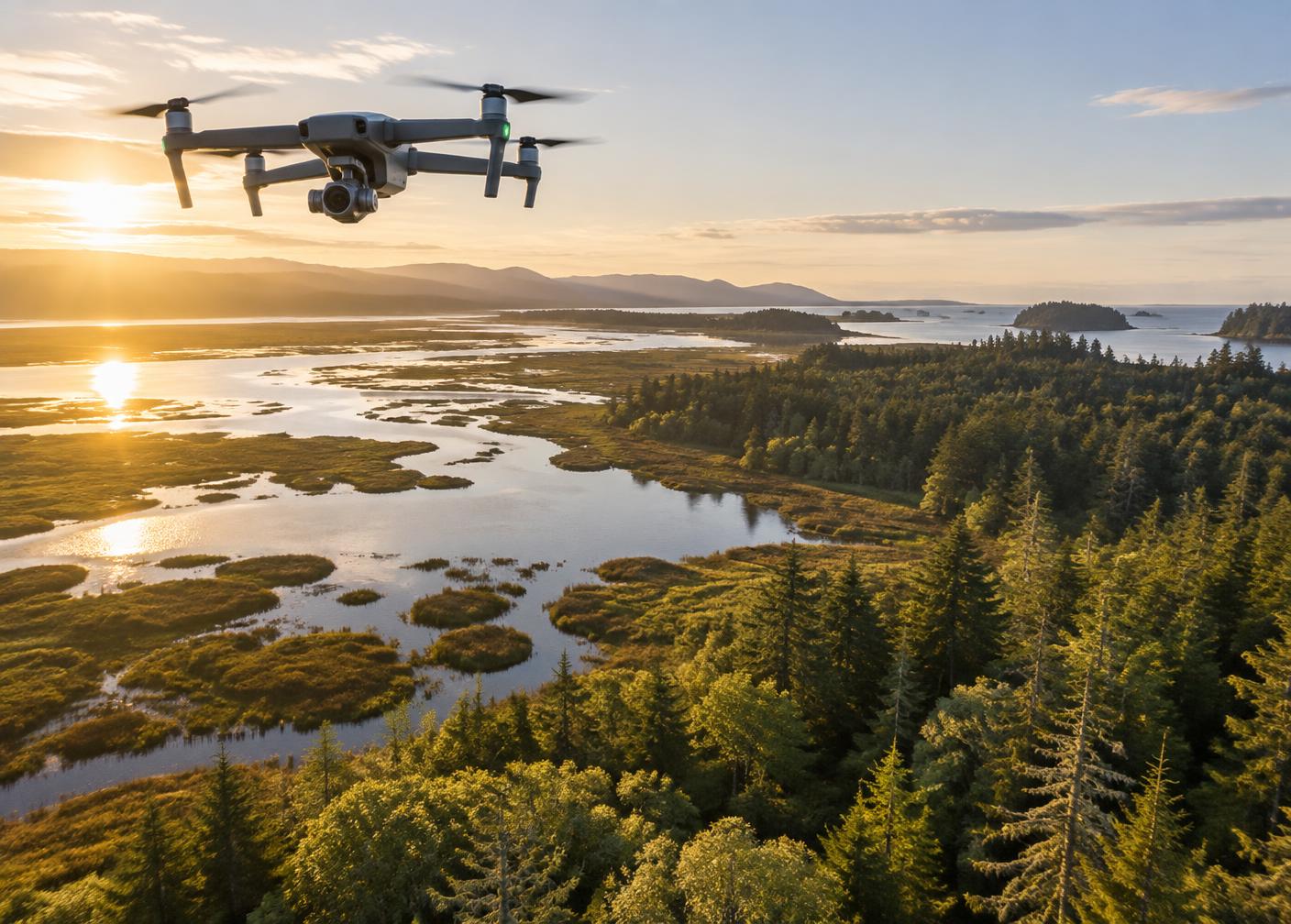
Capabilities
Insight built around your objective.
01
Aerial mapping
02
Land & construction surveying
03
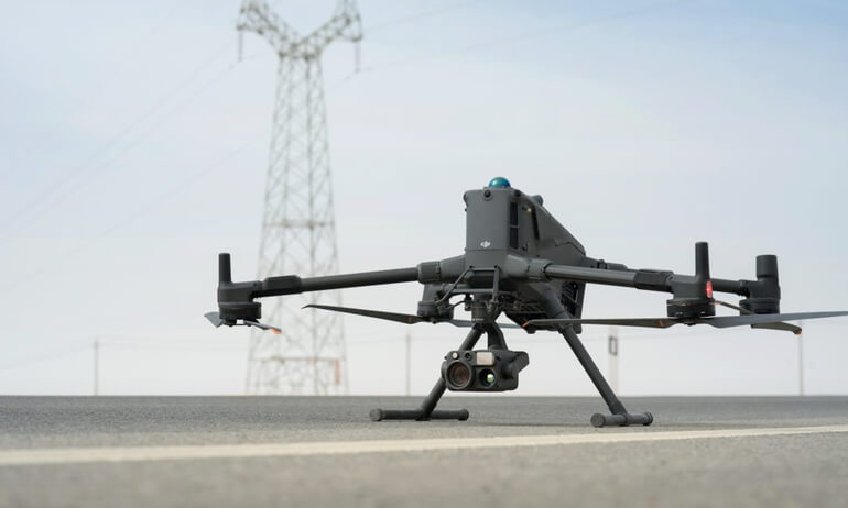
Infrastructure & utility inspection
04
Environmental monitoring
Project value
From raw information to confident action.
Faster field data collection
Detailed, repeatable site records
Reduced exposure during inspections